
MEXICO CITY (AP) — Mexico City is sinking by nearly 10 inches (about 25 centimeters) a year, according to new satellite imagery released this week by NASA, making it one of the world’s fastest-subsiding metropolises.
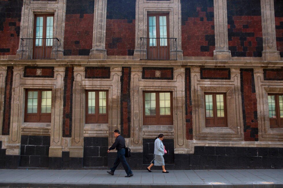
One of the world’s most sprawling and populated urban areas, at 3,000 square miles (about 7,800 square kilometers) and some 22 million people, the Mexican capital and surrounding cities were built atop an ancient lake bed. Many downtown streets were once canals, a tradition that continues in the rural fringes.
Extensive groundwater pumping and urban development have dramatically shrunk the aquifer, meaning that Mexico City has been sinking for more than a century, leaving many monuments and older buildings — like the Metropolitan Cathedral, where construction began in 1573 — visibly tilted to the side. The contracting aquifer has also contributed to a chronic water crisis that is only expected to worsen.
“It damages part of the critical infrastructure of Mexico City, such as the subway, the drainage system, the water, the potable water system, housing and streets,” said Enrique Cabral, a researcher studying geophysics at the National Autonomous University of Mexico. “It’s a very big problem.”
Mexico City is sinking so fast that the subsidence can be spotted from space.
In some parts it is happening at an average rate of 0.78 inches (2 centimeters) a month, according to NASA’s newly released report, such as at the main airport and the iconic monument commonly known as the Angel of Independence.
Overall that means a yearly subsidence rate of about 9.5 inches (24 centimeters). Over the course of less than a century, the drop has been more than 39 feet (12 meters), according to Cabral.
“We have one of the fastest velocities of land subsidence in the whole world,” he said.
The NASA estimates are based on measurements taken between October 2025 and January 2026 by a powerful satellite known as NISAR, which can track real-time changes on the Earth’s surface and is a joint initiative between NASA and the Indian Space Research Organization.
NISAR scientist Paul Rosen said that by capturing details of the Earth from space, the project is also “telling us something about what’s actually happening below the surface.”
“It’s basically documentation of all of these changes within a city,” Rosen said. He added: “You can see the full magnitude of the problem.”
With time the team hopes to be able to zoom in even more on specific areas and someday get measurements on a building-by-building basis.
More broadly, researchers hope to apply the technology around the world to track things like natural disasters, changes in fault lines, the effects of climate change in regions like Antarctica and more.
Rosen said it could be used to bolster alert systems, letting scientists alert governments to the need for evacuations in cases of volcano eruptions, for example.
For Mexico City the technology amounts to a big advance in studying the subsidence issue and mitigating its worst effects, according to Cabral.
For decades the government has largely ignored the problem other than stabilizing foundations under monuments like the cathedral. But following recent flare-ups of the water crisis, Cabral said, officials have begun to fund more research.
Imagery from the NISAR satellite and the data that comes with it will be key for scientists and officials as they plan on how to address the problem.
“To do long-term mitigation of the situation,” Cabral said, “the first step is to just understand.”
___
Follow AP’s coverage of Latin America and the Caribbean at https://apnews.com/hub/latin-america